Donaghys Hill Wilderness Walk
Rewarding short walk
Distance 2.2km | Climb 54m | Descent 22m | High point 517m
The Donaghys Hill Wilderness Walk in Franklin-Gordon Wild Rivers National Park is a short, rewarding walk offering sweeping views of Tasmania’s wild landscapes. Located off the Lyell Highway, the trail is a popular stop for visitors seeking accessible yet impressive scenery within the World Heritage-listed park.
The trailhead to the lookout
The trail begins at a well-marked car park along the Lyell Highway, approximately 33km west of Derwent Bridge. It is an easy 40–60-minute return walk, covering 1.1km each way. While the trail itself is not particularly steep, there is a gradual climb towards the lookout, making sturdy footwear advisable. The walk is suitable for most fitness levels, though it can become slippery after rainfall.
The trail meanders through a mix of temperate rainforest and open eucalypt woodland, offering glimpses of the park’s diverse plant life. Tall gums and native undergrowth create a sheltered start to the walk. Early sections are relatively flat and well-maintained, though the track narrows as you progress. Visitors are advised to stick to the trail to avoid disturbing the fragile environment.
As you climb gently towards the lookout, you will notice a change in vegetation. The forest opens up, and moss-covered rocks appear alongside stunted alpine shrubs. This transition signals the approaching ridge. Along the way, look for native birds such as black currawongs and green rosellas, often spotted flitting through the trees.
The final stretch involves a brief, slightly steeper climb over rocky terrain. This section may require careful footing, particularly in wet conditions. However, the path is manageable for most walkers.
The lookout
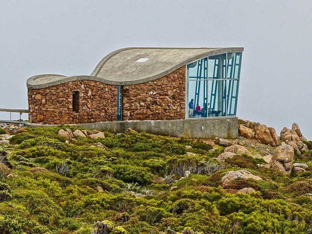
At the top, walkers are rewarded with panoramic views across the Franklin-Gordon Wild Rivers National Park. The vantage point highlights the vast, rugged landscape of Tasmania’s southwest. To the west, the dense forests and river valleys stretch out, shaped by millions of years of glacial activity. On clear days, you can spot the distinctive silhouette of Frenchmans Cap, a quartzite peak rising 1,446m above sea level.
The Franklin River valley is also visible from this point, offering a reminder of the region’s significance. The area gained international attention in the 1980s during the campaign to prevent the river’s damming. Today, it stands as a symbol of environmental conservation efforts. Interpretive signs at the lookout provide context to the region’s natural and cultural history.
Practical details
The trailhead car park is off the Lyell Highway, around 33km west of Derwent Bridge and 63km east of Queenstown. The car park is well-signposted and includes basic information boards about the trail and surrounding area.
It is a short 2.2 km return trail that takes approximately 40–60 minutes to complete.
The trail is generally well-maintained but can become muddy or slippery after rain. Walkers should wear sturdy, waterproof footwear and bring weather-appropriate clothing, as conditions in the area can change rapidly. Tasmania’s southwest is known for its unpredictable weather, even in summer.
The lookout itself is exposed, so be prepared for strong winds or sudden showers. Walkers are encouraged to carry water, as there are no facilities along the trail.
There are no toilets, drinking water, or picnic areas at the trailhead. Visitors should bring their own supplies and use facilities at Derwent Bridge or Queenstown.
Lyell Highway, Southwest TAS 7116
Website parks.tas.gov.au


